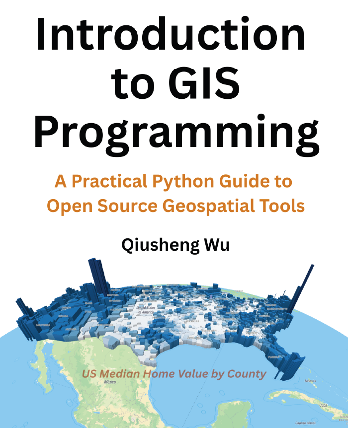
Introduction to GIS Programming A Practical Python Guide to Open Source Geospatial Tools
Free
This book is designed for a diverse audience of learners who want to harness the power of Python for
geospatial analysis and visualization:
Students and Researchers in geography, environmental science, urban planning, data science, and
related fields who need to analyze spatial data as part of their studies or research. No prior programming
experience is assumed, though basic familiarity with computers and data analysis concepts is helpful.
GIS Professionals who currently use desktop GIS software and want to expand their toolkit with
programming skills. If you’ve worked with ArcGIS, QGIS, or similar tools and want to automate workflows
or perform analyses that are challenging in traditional GIS software, this book will help you make that
transition.
Data Scientists and Analysts who work with location-based data and want to add spatial analysis
capabilities to their skillset. If you’re comfortable with Python basics but new to geospatial concepts, this
book will introduce you to the spatial thinking and tools you need.
Software Developers interested in building applications that work with geospatial data. Whether you’re
developing web mapping applications, mobile apps with location features, or data processing pipelines,
this book provides the foundation you need.
Self-Learners and Career Changers who are interested in the growing field of geospatial data science.