
Projects
A glimpse into my recent geospatial work.
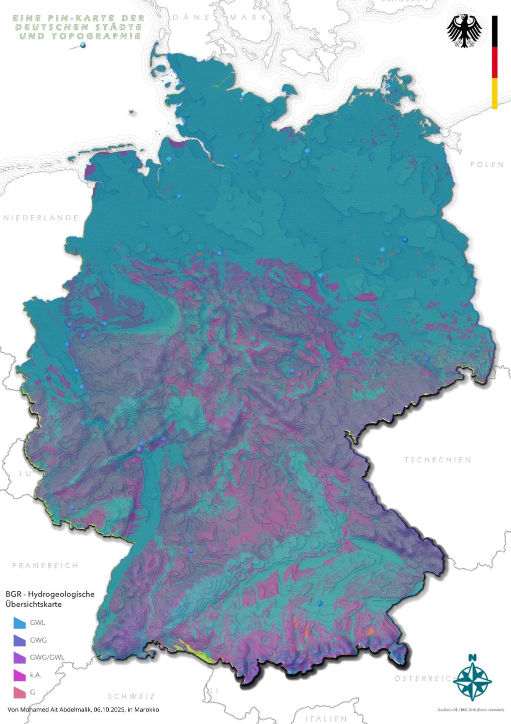
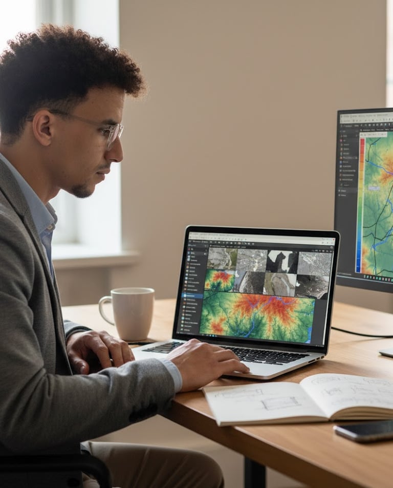
Hydrology Study
Analyzed watershed patterns using ArcGIS Pro to support sustainable water management, integrating DEM data for accurate terrain modeling.
Applied Python and IBM data analyst skills to clean and interpret geospatial datasets, enhancing insights for environmental projects.
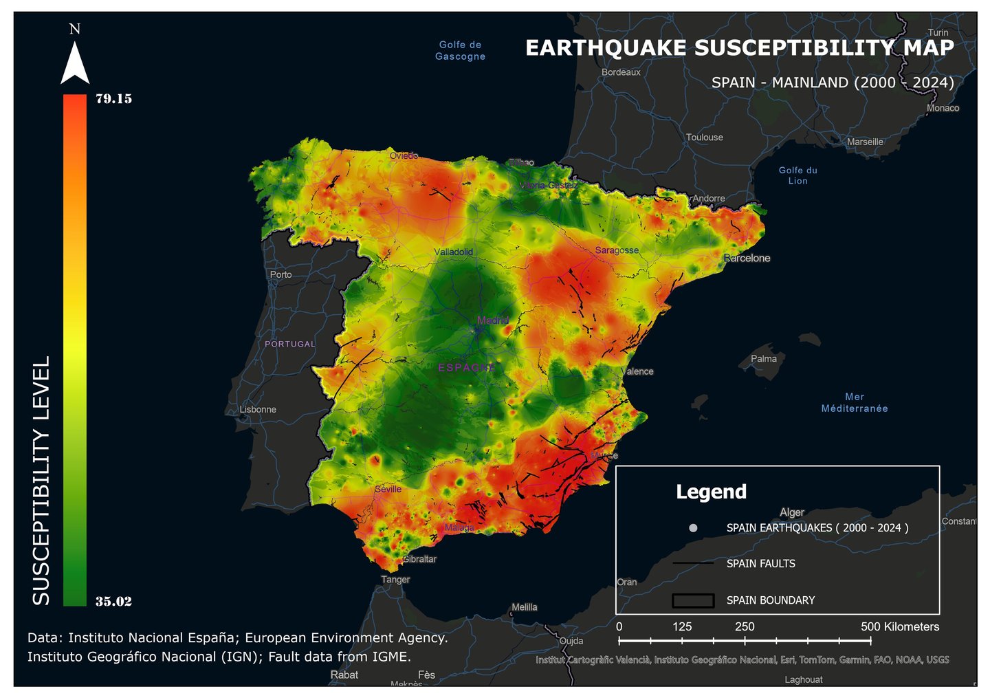
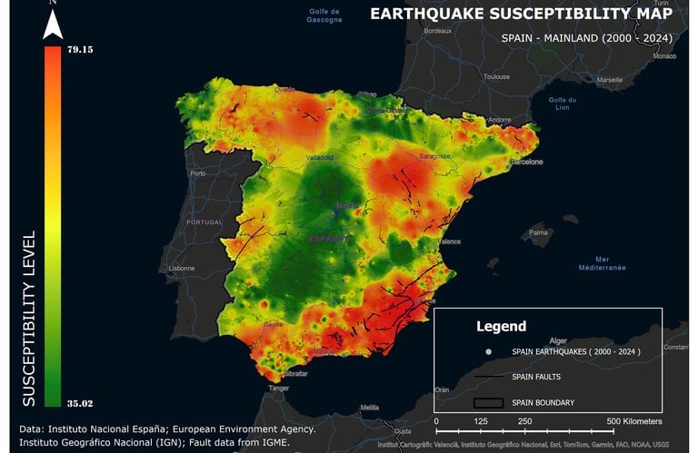
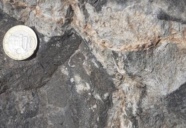
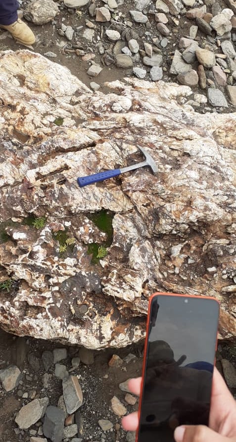
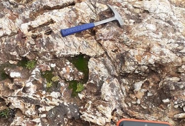
Earthquake Susceptibility Map Of SAPIN
Experience
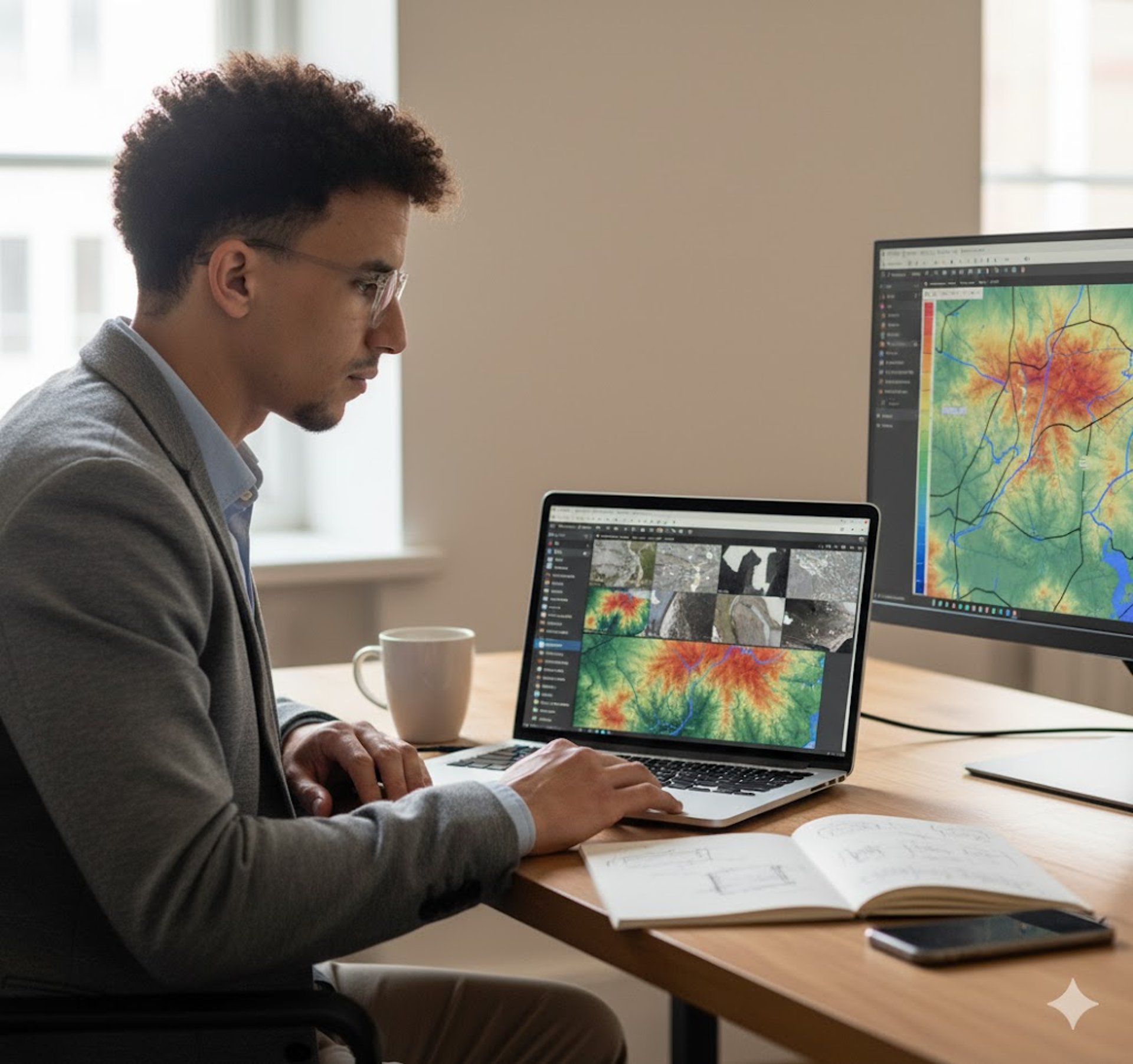
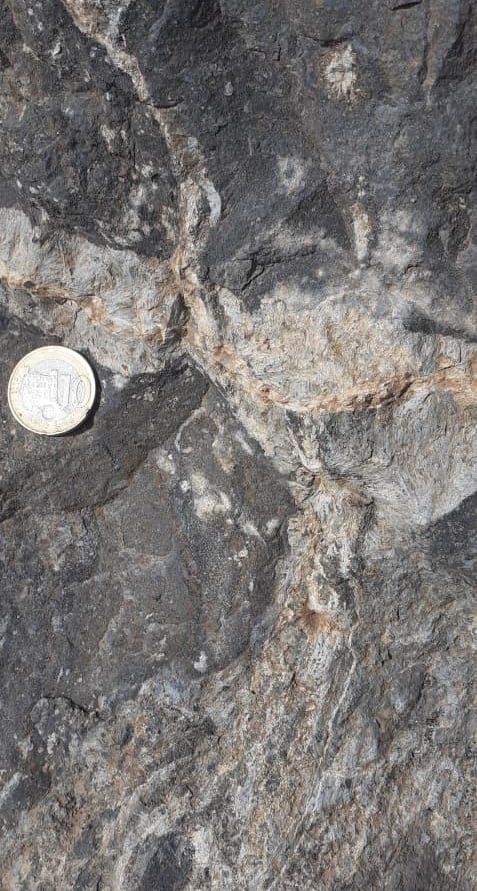
Currently finishing my geology degree while diving deep into hydrology and geospatial data analytics.
Skills
GIS & Coding
Proficient in ArcGIS Pro QGIS, Python,
Certifications
Academic Degree
Bachelor’s Degree in Geology – from Faculté des Sciences Semlalia, Université Cadi Ayyad (Marrakech, Morocco)
Professional Certificates
IBM Data Analyst Certificate – covering data analysis, Excel, Python, SQL, and data visualization.
Geospatial Data Analytics Essential Training Certificate (completed February 4, 2025) – covering GIS, geospatial data, and Python.
Get in Touch
Feel free to reach out for collaborations or questions about my geospatial projects.
Phone
+2126 51853618
mohamed.aitabdelmalik@gmail.com